Sacramento History Online

Historic Sacramento Photograph and Document Archive


View Large Image
View Large Image
Title
Map of Sacramento County showing location of Orange Vale
Publisher
[Sacramento] : The Company
Date
[1892]
Description
1 map : col. ; 22 3/4 x 27 1/2 in.
Subject(s)
Summary
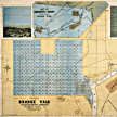
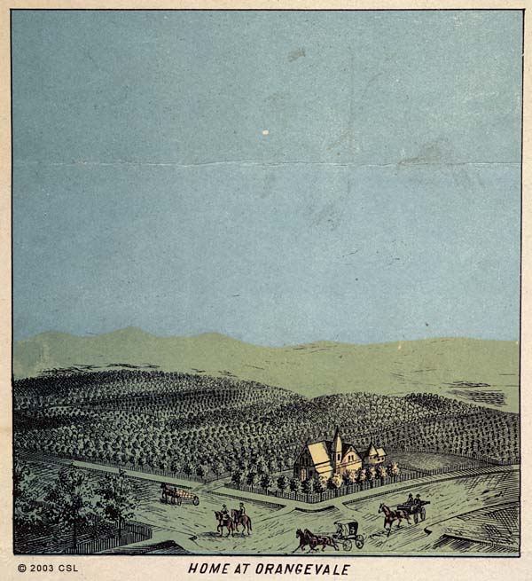
Map of Orange Vale (Orangevale) subdivision, comprised of 312 10-acre lots with proposed town center, situated next to the American River. Inset map shows Orange Vale's location within Sacramento County. Two illustrations show the spaciousness and agricultural potential of lots. Property of the Orange Vale Colonization Comapny.
Owning
Institution
California State Library, California History Room
Copyright
© California State Library, California History Room
Call
Number
c912.S12o 1892
Filing
Location
MAP: SACRAMENTO COUNTY. 1892
Other
Formats
Negative, no. 27,428 (8 x 10 in. color transparency, 4 x 5 in. b/w); 27,428a (4 x 5 in. color transparancy , detail top left)
You may refine your search results or perform a new search by returning to the search page.